 Big Big GameFishing Co.
Fishing Spots Near You: How to Find Local Holes, Piers & Access (2026)
Key takeaways
- Start with an app. FishAngler is the best free all-in-one; WikiCatch maps 1M+ spots. (Reel Coquina)
- Scout on satellite. Google Earth is free — pin marinas, jetties, spillways, ramps, and piers. (Bass Online)
- Use agency maps. State fish & wildlife and Take Me Fishing publish free public-access maps. (Bass Online)
- No boat needed. Public piers (FL, CA, NY) and shorelines produce fish for beginners. (Outdoor Life)
- onX & TroutRoutes. Great for lake access points and trout streams respectively. (onX)
- Verify before you go. Confirm access, parking, fees, and motor/night restrictions. (Bass Online)
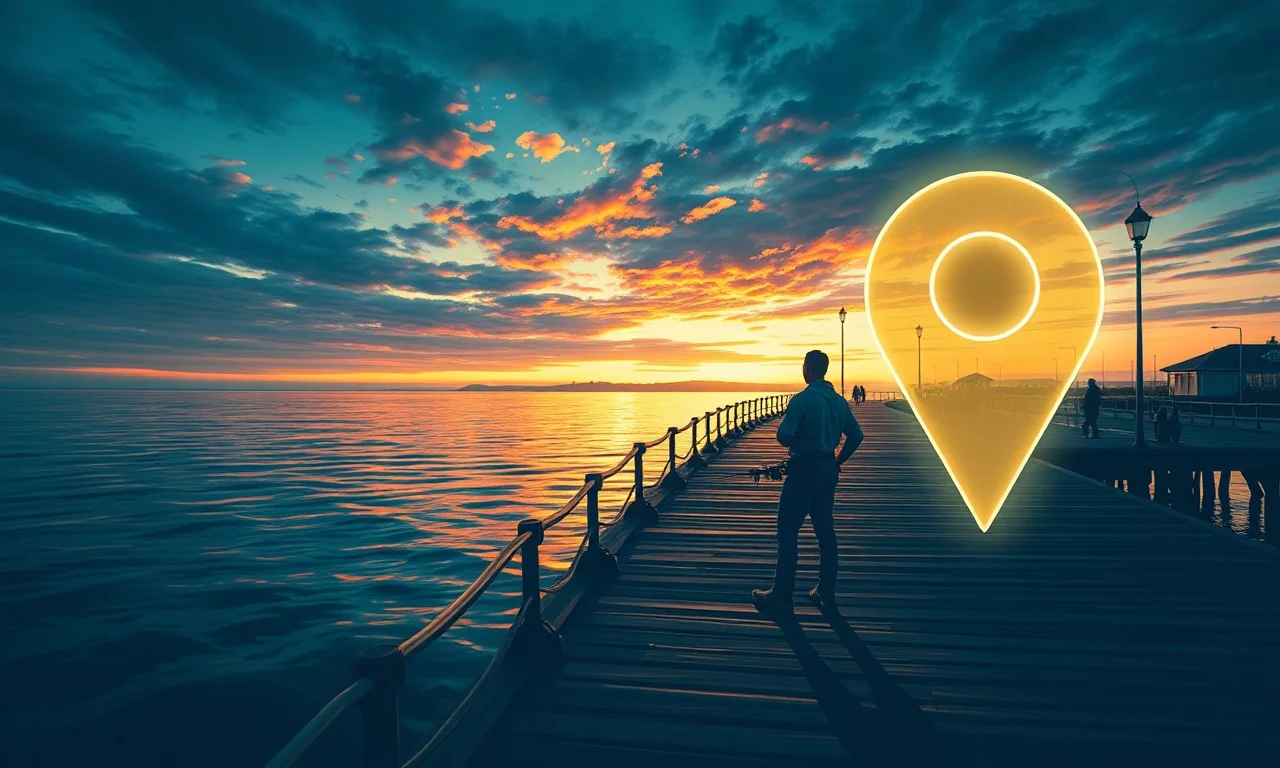
Best free apps to find spots
A few free (or freemium) apps do most of the work — mapping spots, public access, forecasts, and reports in one place.
| App | Best for | Cost |
|---|---|---|
| FishAngler | All-in-one: maps, reports, logging | Free |
| WikiCatch / Fishing Spots | 1M+ mapped spots worldwide | Freemium |
| onX Fish | Lake maps + public access points | Freemium |
| TroutRoutes | Trout streams, flows, access | Freemium |
| Google Earth | Free satellite scouting | Free |
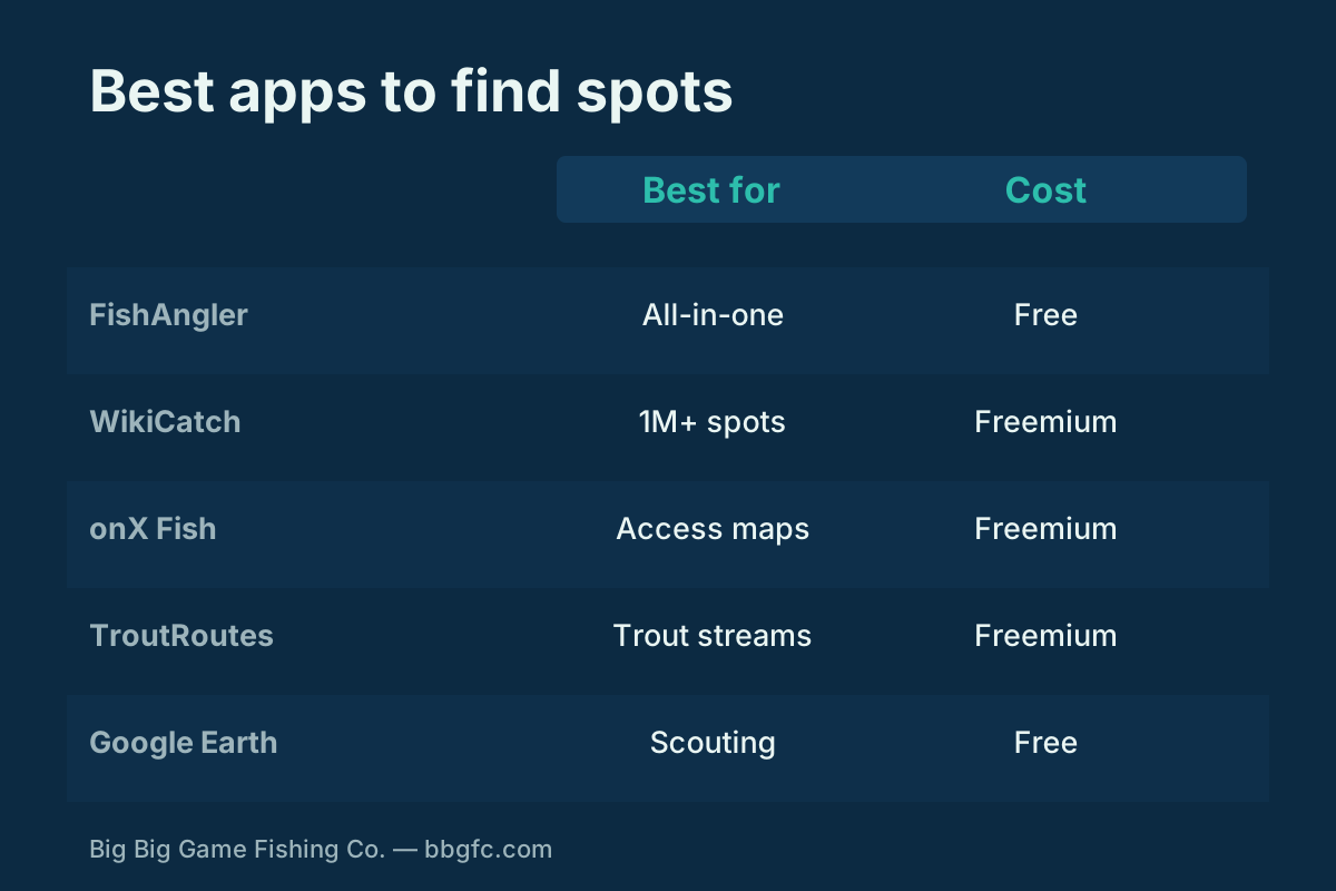
Most apps are freemium in 2026 — free to download, with premium charts and private waypoints behind an upgrade. FishAngler and Google Earth give you a lot at zero cost.
How to find spots near you
Combine apps with satellite scouting and official access maps, then verify legal access. That workflow beats chasing "secret" spots every time.
| Method | What it gives you |
|---|---|
| Fishing apps | Mapped spots, species, forecasts, reports |
| Google Earth scouting | Pin ramps, jetties, spillways, piers |
| State agency maps | Legal public access, ramps, piers, licenses |
| Take Me Fishing places map | Nearby access + target species |
| Local knowledge | Tackle shops, reports, angler forums |
Cross-reference two or three of these and you'll build a list of legal, productive water fast. Pair it with the right species plan and gear for where you're headed.
Fishing without a boat
You don't need a boat to catch fish. Public piers, jetties, spillways, dam tailwaters, and park shorelines all produce — and many are beginner-friendly.
Fish structure and current — pilings, drop-offs, and seams hold fish. If you'd rather go bigger, our boats & kayaks hub covers getting your own craft, and charters get you offshore.
Before you go
A two-minute check saves a wasted trip. Confirm access and rules before you drive out.
| Check | Why |
|---|---|
| Public access & parking | Avoid private land and no-parking tows |
| Ramp / pier / bank access | Match the site to how you'll fish |
| Fees & hours / gates | Launch fees and gate hours vary |
| Motor & night restrictions | Some waters limit gas motors or night fishing |
| License & regulations | Carry a valid license; know size/bag limits |
Confirm licensing and rules in our licenses & regulations hub — nearly all public fishing requires a state license.
Finding spots by the numbers
The tools have never been better — or cheaper.
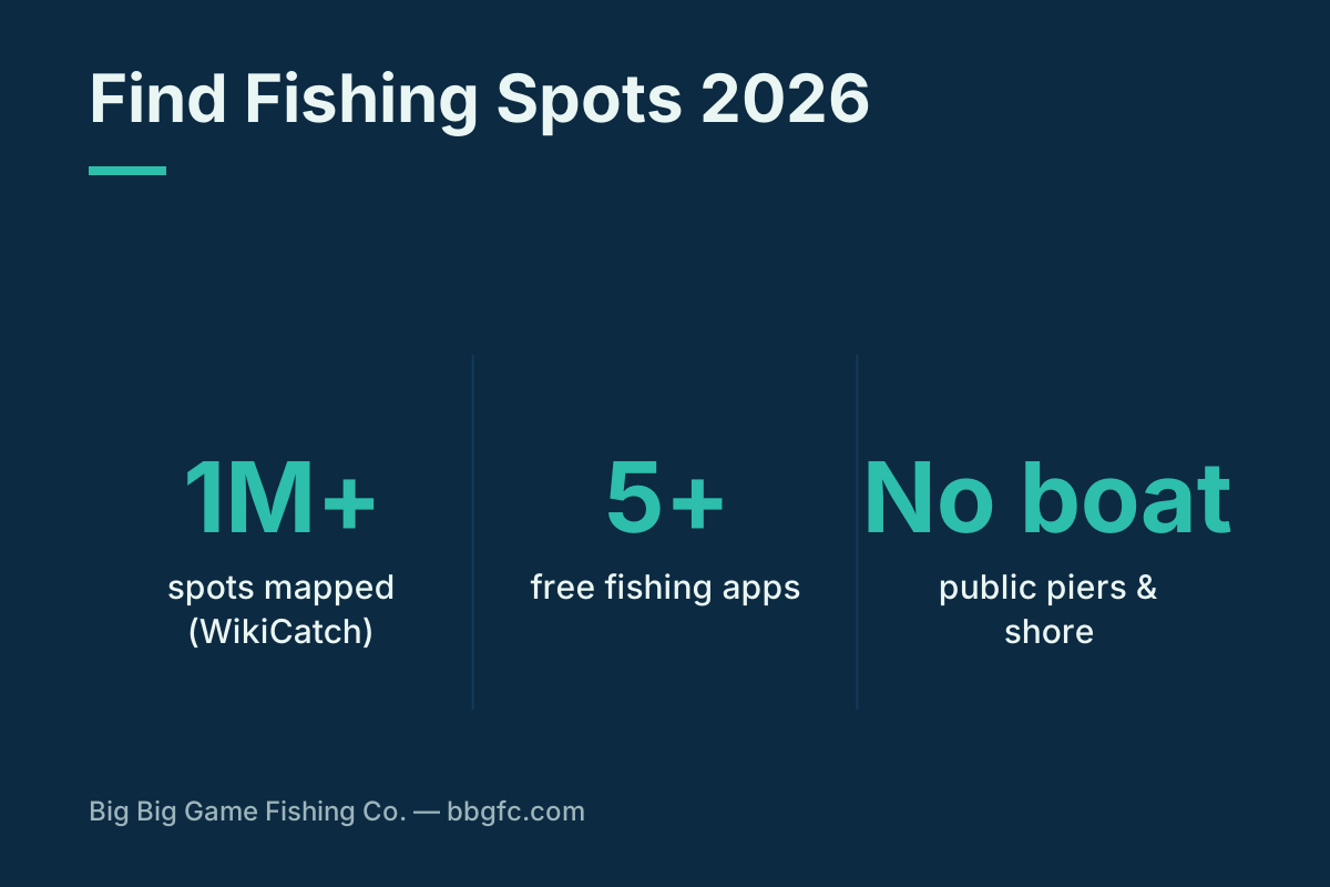
Free apps map over a million spots, at least five solid free or freemium options exist, and public piers and ramps mean you can fish productively with no boat at all.
Ways to find water
Explore our spot-finding guides
Local and how-to guides go live as we publish them.
Methodology
App recommendations and spot-finding methods are compiled from 2026 fishing-app reviews and access guides (Reel Coquina, Kayak Angler, onX, Bass Online, Outdoor Life) and cross-checked for agreement. App features and pricing change — verify current terms. Always fish legal public-access water and confirm local rules. Maintained as an evergreen reference.
Frequently asked questions
How do I find fishing spots near me?
What is the best free fishing app?
How do I find public fishing access?
Can I fish without a boat?
How do I scout a new spot before going?
Are fishing apps free?
How do I find good local shore fishing?
Do I need a license to fish local spots?
Sources
- Reel Coquina Fishing. "Best Free Fishing Apps for Anglers in 2026." reelcoquinafishing.com. Accessed Sept 20, 2026.
- onX Fish. "Public Fishing Access." onxmaps.com. Accessed Sept 20, 2026.
- Bass Online. "Best Fishing Spots Near Me." bassonline.com. Accessed Sept 20, 2026.
- Outdoor Life. "You Don't Need a Boat: How to Catch Fish from Shore." outdoorlife.com. Accessed Sept 20, 2026.