Numbers lie about earthquakes. A magnitude 7.4 tremor sounds identical on paper whether it strikes beneath a rural jungle or directly underneath a densely populated coast, yet the physical reality on the ground tells an entirely different story.
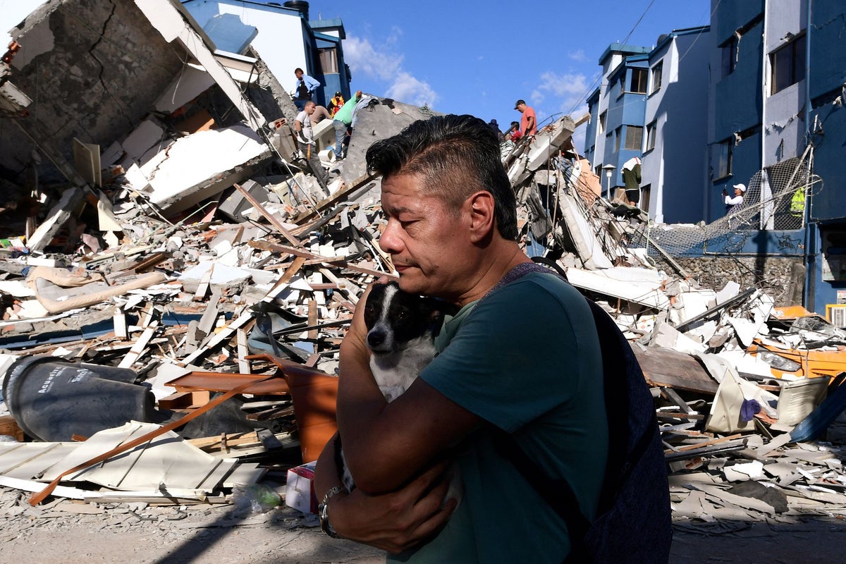
When a magnitude 7.4 earthquake hit western Colombia near San José del Palmar in Chocó, it arrived mere weeks after a catastrophic double earthquake struck Venezuela with magnitudes of 7.2 and 7.5. Both events involved major tectonic shifts and sent millions of people scrambling into the streets. But the destruction left behind in Venezuela—where thousands died and entire neighborhoods collapsed—contrasted sharply with the lower casualty numbers seen in Colombia.
If you assume equal magnitude means equal destruction, you're missing how the Earth actually breaks.
The Physics of Faults and Depth
To understand why these seismic events played out so differently, you have to look at depth and fault mechanics. The U.S. Geological Survey (USGS) pointed out that Venezuela’s June earthquakes were dangerously shallow. The first tremor started roughly 22 kilometers deep, followed quickly by a second one at a mere 10 kilometers.
When a rupture happens that close to the surface, the energy doesn't have room to dissipate. It hits surface structures like a physical hammer blow.
Venezuela also suffered from a rare double-punch sequence. Two massive quakes struck within roughly 39 seconds of each other. Buildings already rattled and structurally compromised by the first tremor took the full force of the second one before engineers or residents could even assess the damage.
Colombia faced a different scenario. While its 7.4 magnitude earthquake packed a massive punch and exposed over 10 million people to violent shaking, the hypocenter was significantly deeper. Depth acts as a natural buffer. By the time seismic waves travel through tens of kilometers of rock to reach the surface, some of that raw, destructive energy gets filtered out, even if the shaking spreads across a broader geographic zone.
Tectonic Complexity in South America
South America's geology is notoriously unforgiving. Venezuela sits along a complex transpressional boundary zone where the Caribbean and South American plates grind past one another horizontally via the Boconó-San Sebastián-El Pilar fault system. This lateral, strike-slip movement forces blocks of crust to slide sideways, which often generates shallow, highly destructive ruptures close to urban centers along the northern coast.
Colombia deals with an even messier tectonic puzzle. The Nazca, South American, and Caribbean plates all converge here, alongside a web of interior continental fault systems. This hyper-active intersection produces frequent seismic activity of varying depths, forcing the region into a constant state of geological friction.
What Actually Saves Lives
We love to credit high-tech early warning systems for saving lives, but physical geography and local construction standards dictate who survives a major tremor.
Shallow strike-slip quakes near the coast, like those in Venezuela's La Guaira region, leave virtually zero margin for error. When 80% of buildings in a localized zone collapse within seconds, no warning system on Earth can evacuate a high-rise fast enough.
Conversely, deeper inland events allow seismic waves to fan out over larger distances, reducing the localized peak intensity that instantly pancakes unreinforced masonry. However, deep quakes still threaten remote and vulnerable communities where infrastructure isn't built to modern seismic codes. In departments like Chocó, poverty and isolation amplify the danger long after the initial shaking stops.
Pay attention to building codes, soil composition, and fault depth rather than just staring at the Richter scale number. Every earthquake writes its own rules in real time.