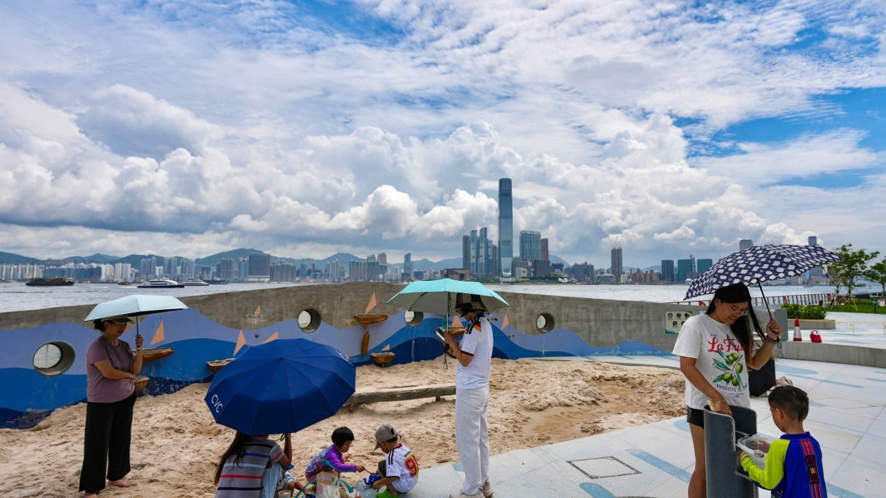
If you are scanning the horizon for hoisting signals or scrambling to secure loose scaffolding outside your flat, take a breath. The Hong Kong Observatory has dialed back expectations for an immediate tropical cyclone warning, making a direct hit or an early T1 or T3 signal unlikely over the next 48 hours.
Tropical Storm Narra is currently spinning away to the west, keeping a safe distance as it skirts the coast of Guangdong's Leizhou Peninsula. But do not put away your umbrella just yet. Even without an active typhoon signal hoisted at Victoria Harbour, a messy mix of low pressure systems across the region means the city is in for a heavy dose of unsettled weather, sudden downpours, and squally thunderstorms.
The Real Story Behind the Forecast Shift
Weather tracking in late August is rarely straightforward. Earlier model runs had locals bracing for a potential warning signal by Tuesday or Wednesday as Narra tracked closer to southern China. Meteorological reality shifted. The storm system chose to linger longer in the Beibu Gulf before turning northeast, ensuring its core stays far enough away to keep local wind speeds below the threshold for official warnings for the time being.
Low-pressure troughs rarely arrive alone in this part of the world. While Narra crawls toward western Guangdong, multiple active systems are churning across the wider Pacific basin, creating a chaotic regional pressure gradient. Systems like these inject massive amounts of moisture into the local atmosphere.
You get a classic subtropical weather trap: low wind speeds that keep things hot and muggy, paired with sudden atmospheric bursts that dump buckets of water on commuters without warning.
What to Expect on the Ground
Forget about typhoon holidays or shuttered offices for the moment. Your primary enemy this week is water from the sky, not gale-force winds.
- Intermittent Heavy Showers: Rain bands will sweep across the territory irregularly, meaning one neighborhood might stay bone dry while another gets completely flooded within twenty minutes.
- Squally Thunderstorms: Expect sharp, violent bursts of wind and lightning embedded within the heavier rain clouds, particularly during the morning and early afternoon hours.
- High Humidity and Heat: On the dry spells between downpours, temperatures will rebound quickly. Combined with high humidity, it will feel sticky and oppressive outdoors.
If you commute via the MTR, keep your transit app handy and leave ten minutes early. Outdoor construction sites and harbor-front workers will still need to manage localized gusty winds on high ground, even if official signals remain down.
Why Regional Systems Matter More Than Local Storms
People often fixate entirely on the storm closest to the map icon. That is a mistake. Weather in southern China is dictated by broader regional mechanics.
When a tropical storm parks itself in the Gulf of Tonkin or moves toward the Leizhou Peninsula, it acts like a giant vacuum cleaner. It pulls south-westerly marine air straight across the Pearl River Delta. That marine flow is saturated with moisture. When it hits the hills of Hong Kong, it triggers convective cloud growth that turns into heavy afternoon thunderstorms faster than computer models can accurately predict.
Relying solely on whether the Observatory hoists a Signal No. 1 misses the point. You can get drenched by severe localized weather just as easily on a "no signal" day as you can during a tropical cyclone warning.
Practical Steps for the Week Ahead
Stop checking the storm tracker every five minutes looking for an excuse to stay home. Instead, adjust your daily logistics for erratic rain.
Keep a sturdy umbrella in your bag every single day this week. If you drive or manage property in low-lying areas prone to flash flooding, clear out nearby drainage grates now. Delivery riders and outdoor workers should pack a change of clothes because getting caught in a sudden squall is practically guaranteed.
The skies will clear up later in the week as subsiding air brings back the intense late-summer heat, but until then, expect a soggy commute.